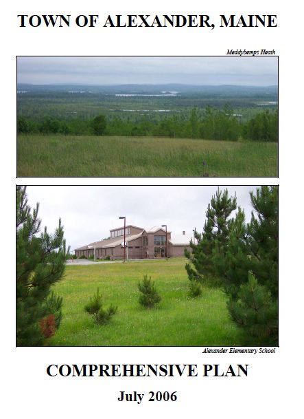
Alexander Comprehensive Plan

The Alexander Comprehensive Plan Update was completed in 2006.
It was found Consistent with the Growth Management Act on September 17, 2006 and adopted locally on March 25, 2007.
Links to the individual chapters and maps that comprise the Alexander Comprehensive Plan are provided below.
A- Vision and Executive Summary
B- Historical and Archeological Resources
G- Recreation, Scenic Resources and Open Space
I- Public Facilities and Services
L- Town Survey Results
Maps
Map 1 - Location (743 KB)
Map 2 - Public Facilities and Recreation (858 KB)
Map 3 - Topography, Steep Slopes and Flood Zones (3 MB)
Map 4 - STASGO Soils (649 KB)
Map 5 - Water Resources (2MB)
Map 6 - Land Cover (656 KB)]
Map 7 - Critical Habitat (1.4 MB)
Map 8 - Transportation (642 KB)
Map 9 - Land Use and Zoning (1.6 MB)
Map 10 - Proposed Land Use (1.6 MB)
Appendices
Appendix A - Community Visioning Meeting Notes
 Menu
Menu