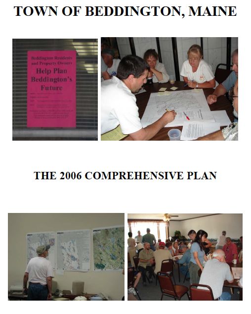
Beddington Comprehensive Plan Update
 The Beddington Comprehensive Plan Update was completed in 2006.
It was found Consistent with the Growth Management Act on June 11, 2006 and adopted locally on April 13, 2007.
Links to the individual chapters and maps that comprise the Beddington Comprehensive Plan are provided below.
Individual Chapters
Cover Page and Table of Contents (PDF 111 KB)
A: Vision and Executive Summary (PDF 106 KB)
B: Historical and Archeological Resources (PDF 34 KB)
C: Population (PDF 50 KB)
D: Natural Resources (PDF 114 KB)
E: Employment and Economy (PDF 49 KB)
F: Housing (PDF 74 KB)
G: Recreation, Scenic Resources and Open Space (PDF 38 KB)
H: Transportation (PDF 37 KB)
I: Public Facilities and Services (PDF 35 KB)
J: Fiscal Capacity (PDF 29 KB)
K: Land Use (PDF 47 KB)
L: Town Survey Results (PDF 70 KB)
Appendices
Appendix A: Town Survey and Written Comments (PDF 57 KB)
Appendix B: Community Meeting Summary (PDF 28 KB)
Appendix C: State Policies (PDF 14 KB)
Maps
-
Map 1:Location of Beddington in Washington County (PDF 1.2 MB)
-
Map 2: Public Facilities and Recreation (PDF 775KB)
-
Map 3: Topography (PDF 3.3 MB)
-
Map 4: STATSGO Soils (PDF 962 KB)
-
Map 5: Land Cover (PDF 411 KB
-
Map 6: Water Resources (PDF 1.3 MB)
-
Map 7: Marine Resources (PDF 580 KB)
-
Map 8: Critical Habitat (PDF 752 KB)
-
Map 9: Transportation Road Network (PDF 597 KB)
-
Map 10: Existing Land Use (PDF 1.3 MB)
-
Map 11: Proposed Land Use (PDF 2.8 MB)
 Menu
Menu