2017-18 Whiting Comprehensive Plan Update Meetings
Regular meetings are held from 6:30-7:30 PM; 2nd Tuesday of every month, Cherryfield Town Office
Meeting Schedule Posted here.
Next Meeting - May 16 (TBD)
Agenda:
Complete Draft Survey
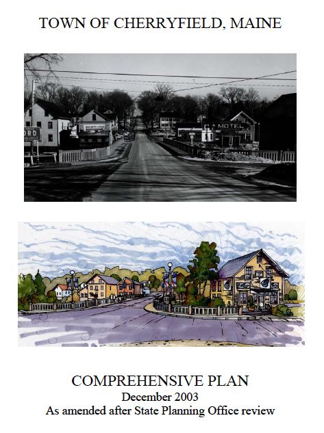
Cherryfield Comprehensive Plan
The existing Cherryfield Comprehensive Plan was completed in 2003.
It was found Consistent with the Growth Management Act on January 6, 2004 and adopted locally on March 21, 2004.
Links to the individual chapters and maps that comprise the Cherryfield Comprehensive Plan are provided below.
Individual Chapters
Cover Page and Table of Contents (PDF 263 KB)
A: Executive Summary (PDF 85 KB)
B: Historical and Archeological Resources (PDF 465 KB)
C: Population (PDF 142 KB)
D: Natural Resources (PDF 270 KB)
E: Employment and Economy (PDF 199 KB)
F: Housing (PDF 176 KB)
G: Recreation, Scenic Resources and Open Space (PDF 111 KB)
H: Transportation (PDF 122 KB)
I: Public Facilities and Services (PDF 125 KB)
J: Fiscal Capacity (PDF 127 KB)
K: Land Use (PDF 172 KB)
L: Town Survey Results (PDF 109 KB)
Appendices
Appendix A: State Policies (PDF 183 KB)
Appendix B: Regional Census Data Data Tables (PDF 69 KB)
Appendix C: Village Sewer Feasibility Study Area Map (PDF 2.2 MB)
Maps
- Map 1: Location of Cherryfield in Washington County (PDF 609 KB)
-
Map 2: Cherryfield Streets and Public Facilities (PDF 432 KB)
-
Map 3: Topography and Flood Zones (PDF 857 KB)
-
Map 4: STATSGO Soils (PDF 412 KB)
-
Map 5: Aquifers, Watersheds and Wetlands (PDF 688) KB
-
Map 6: Land Cover - Agriculture and Forest Lands (PDF 547 KB)
-
Map 7: Critical Resources (PDF 452 KB)
-
Map 8: Marine Resources (PDF 425 KB)
-
Map 9: Land Use and Shoreland Zoning (PDF 802 KB)
-
Map 10: Proposed Land Use (PDF 828 KB)
 Menu
Menu