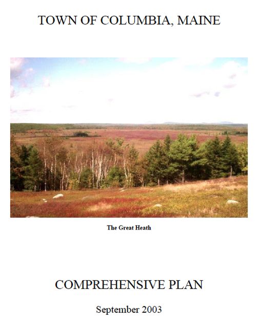
Columbia Comprehensive Plan
The Columbia Comprehensive Plan was completed in 2004.
It was found Consistent with the Growth Management Act on January 19, 2004 and adopted locally on March 14, 2004.
Links to the individual chapters and maps that comprise the Columbia Comprehensive Plan are provided below.
Individual Chapters
Cover Page and Table of Contents (PDF 127 KB)
A: Executive Summary (PDF 91 KB)
B: Historical and Archeological Resources (PDF 125 KB)
C: Population (PDF 104 KB)
D: Natural Resources (PDF 271 KB)
E: Employment and Economy (PDF 134 KB)
F: Housing (PDF 152 KB)
G: Recreation, Scenic Resources and Open Space (PDF 106 KB)
H: Transportation (PDF 117 KB)
I: Public Facilities and Services (PDF 130 KB)
J: Fiscal Capacity (PDF 113 KB)
K: Land Use (PDF 172 KB)
L: Town Survey Results (PDF 168 KB)
Appendices
Appendix A: State Policies (PDF 67 KB)
Appendix B: State Planning Office Letter of Consistency page1, page 2
Maps
-
Map 1: Location of Columbia in Washington County (PDF 763 KB)
-
Map 2: Columbia Streets and Public Facilities (PDF 685 KB)
-
Map 3: Topography and Flood Zones (PDF 1.5 MB)
-
Map 4: STATSGO Soils (PDF 678 KB)
-
Map 5: Aquifers, Watersheds and Wetlands (1.5 MB) KB
-
Map 6: Agriculture and Forestlands (PDF 346 KB)
-
Map 7: Critical Resources (PDF 786 KB)
-
Map 8: Land Use and Shoreland Zoning (PDF 247 KB)
-
Map 9: Proposed Land Use (PDF 752 KB)
 Menu
Menu