
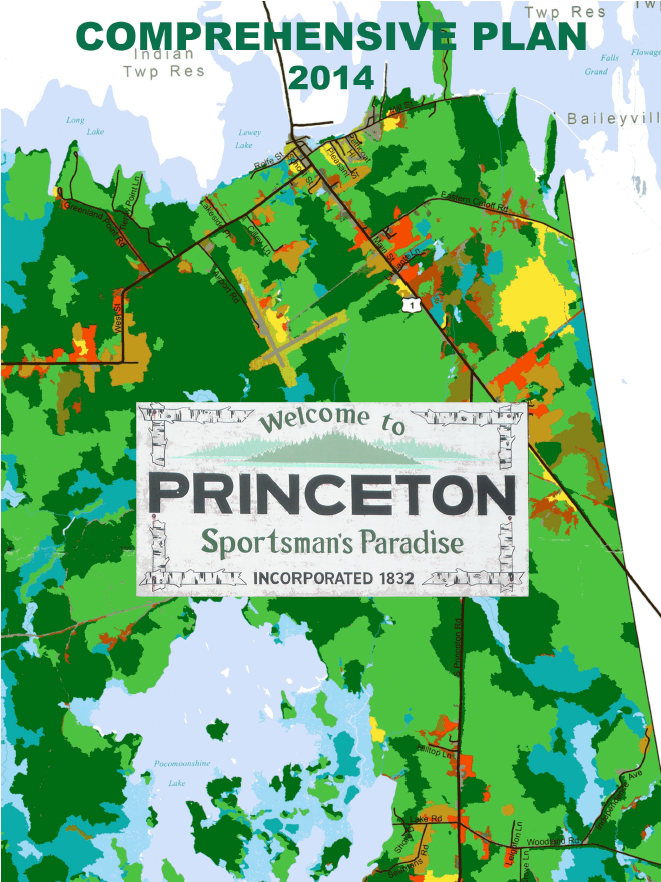
Princeton Comprehensive Plan Update
The Princeton Comprehensive Plan Update was completed in 2014.
It was found Consistent with the Growth Management Act on July 7, 2014 and was locally adopted at a special Town Meeting held on August 19, 2014.
Links to the individual chapters and maps that comprise the Princeton Comprehensive Plan are provided below.
Chapters
Chapter A. Executive Summary, Community Vision and Public Participation
Chapter B. Historic, Cultural and Archeological Resources
Chapter D. Natural Resources and Energy
Chapter E. Employment and Economy
Chapter H. Public Facilities, Services & Recreation
Chapter J. Regional Coordination
Chapter K. Community Survey Pages 1-4 Pages 5-8
Chapter M. Policies & Implementation
Maps
Map 1. Location 1.9MB
Map 2. Public Facilities and Services 1.4MB
Map 3. Topography & Floodplains 4.6MB
Map 4. Land Cover 1.5MB
Map 5. Water Resources 1.8MB
Map 6. Critical Habitat 1.2MB
Map 7. Soils Classifications 2.8MB
Map 8. Transportation 1.3MB
Map 9. Existing Land Use 754KB
Map 10. Future Land Use 754KB
Map 11. Growth Area Detail 524KB
Appendices
Appendix A. SURVEY RESULTS
Town Survey, Additional Comments, Written Questions,
Additional Responses, Survey Comparisons: 1995-2013
Appendix B. Growth Management Strategies from 1995 Comprehensive Plan
Appendix C. State Policies
Appendix D. Evaluation Measures
Appendix E. Visioning Meeting - meeting minutes; wordle