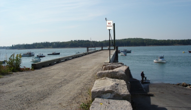
Harrington Comprehensive Plan Update
The Harrington Comprehensive Plan was completed in 2008.
It was found Consistent with the Growth Management Act on January 15, 2009 and adopted locally on March 8, 2009.
Links to the individual chapters and maps that comprise the Harrington Comprehensive Plan are provided below.
 Individual Chapters
I: Public Facilities & Recreation
Appendices
Appendix A: Self Assessment Checklist
Appendix C: Public Participation Summary
Appendix D: Regional Coordination Program
Appendix E: Community Vision Statement
Appendix F: Plan Implementation
Appendix G: Evaluation Measures
Maps
- Map 1: Location (PDF 439 KB)
-
Map 2: Public Facilities and Services (PDF 472 KB)
-
Map 3: Topography and Flood Zones (PDF 665 KB)
-
Map 4: Soils Classification (PDF 3.3 MB)
-
Map 5: Water Resources (PDF 677 KB)
-
Map 6: Critical Habitat (PDF 677 KB)
-
Map 7: Land Cover (PDF 680 KB)
-
Map 8: Maritime Resource (PDF 644 KB)
-
Map 9: Transportation (PDF 658 KB)
-
Map 10: Land Use (PDF 661 KB)
-
Map 11: Future Land Use (PDF 633 KB)
 Menu
Menu