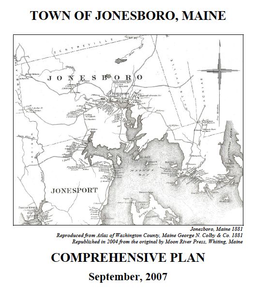
Jonesboro Comprehensive Plan Update
The Jonesboro Comprehensive Plan Update was completed in 2007.
It was found Consistent with the Growth Management Act on November 29, 2007 and adopted locally on December 2, 2008.
Links to the individual chapters and maps that comprise the Jonesboro Comprehensive Plan are provided below.
Cover Page and Table of Contents
B: Historical and Archeological Resources
C: Population
F: Housing
G: Recreation, Scenic Resources and Open Space
I: Public Facilities and Services
K: Land Use
Appendices
Appendix A: Community Vision Meeting Notes
Appendix B: Town Survey and Written Comments
Appendix D: SPO Consistency Letter
Maps
-
Map 1: Location of Jonesboro in Washington County (PDF 852 KB)
-
Map 2: Public Facilities (PDF 501 KB)
-
Map 3: Topography, Steep Sloes and Flood Zones (PDF 753 KB)
-
Map 4: Waterways and Wetlands (PDF 763 KB)
-
Map 5: Soils Classification (PDF 2MB)
-
Map 6: Wetlands and Marine Resources (inset) (PDF 551 KB)
-
Map 7: Land Cover (PDF 574 KB)
-
Map 8: Critical Habitat (PDF 657 KB)
-
Map 9: Transportation (PDF 451 KB)
-
Map 10: Land Use and Zoning (PDF 517 KB)
-
Map 11: Proposed Land Use (PDF 527 KB)
 Menu
Menu